Top drone manufacturer DJI is introducing a new geofencing system to keep pesky little unmanned aircraft from flying where they don’t belong.
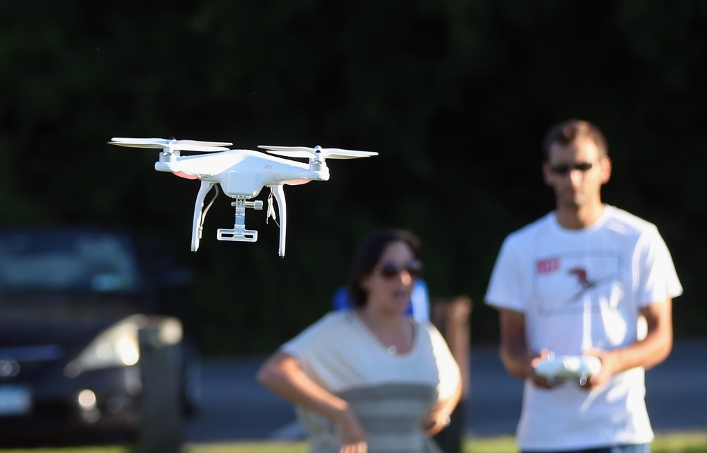
The Geospatial Environment Online (GEO) will include an up-to-date database on restricted areas for hobbyist-controlled unmanned aircraft, such as DJI’s popular Phantom quadcopter. “For the first time, drone operators will have, at the time of flight, access to live information on temporary flight restrictions due to forest fires, major stadium events, VIP travel, and other changing circumstances,” said a DJI news release. “The GEO system will also include for the first time restrictions around locations such as prisons, power plants and other sensitive areas where drone operations raise non-aviation security concerns.”
Interestingly, while geofencing will automatically block a drone’s navigation system from flying over sensitive areas, those restrictions can be sometimes overridden. “The drone will by default not fly into or take off in, locations that raise safety or security concerns,” DJI said. “However, in order to accommodate the vast variety of authorized applications, the new system will also allow users who have verified DJI accounts to temporarily unlock or self-authorize flights in some of those locations. The unlock function will not be available for sensitive national-security locations such as Washington, D.C. or other prohibited areas.”