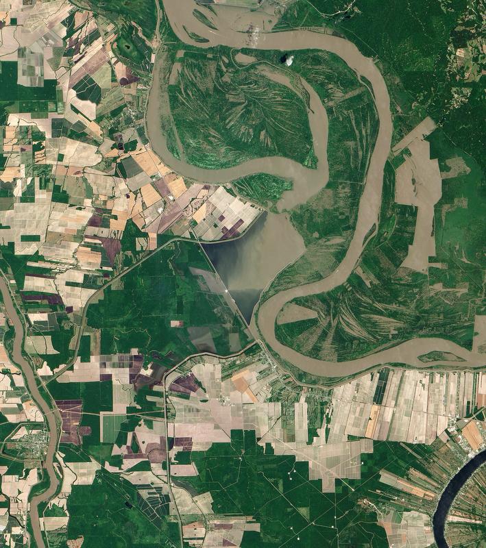
Geospatial intelligence is a vital component of the Army’s intelligence operations, and its importance is expected to grow as the military continues its evolution toward becoming an expeditionary force. Geospatial intelligence enables the detection of enemy assets, resources and other points of interest, as well as providing important navigational mapping for soldiers maneuvering in unfamiliar territory.
The “Army Intelligence 2020 and Beyond” plan, in particular, calls for solutions that let soldiers at the tactical edge leverage the technology, expertise and intelligence across the enterprise. In essence, the goal is to bring the full power of the intelligence community to the “tip of the spear.”
That is a challenging goal, and one that is not always well-understood. To gain some clarity on the demands and benefits of geospatial information, watch our exclusive webcast recorded Nov. 19. Terry Mitchell, director of the Army Intelligence Futures Directorate and deputy chief of staff (G2) joined C4ISR & Networks Editor Barry Rosenberg for an enlightening discussion.